I enjoy leading geospatial data management and analysis efforts to address environmental challenges and support social research.
Visualization
Using data science, particularly spatial analysis, to visualize spatial and temporal patterns and understand their processes
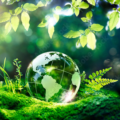
Sustainability
Conducting research in pursuit of sustainable resources management, social equity and bridging science-policy gaps
Complexity
Understanding nonlinear patterns emerging from cross-scale interactions and feedback loops and decomposing uncertainty
Projects
I explore both large-scale landscape patterns and city-scale problems using quantitative methods.
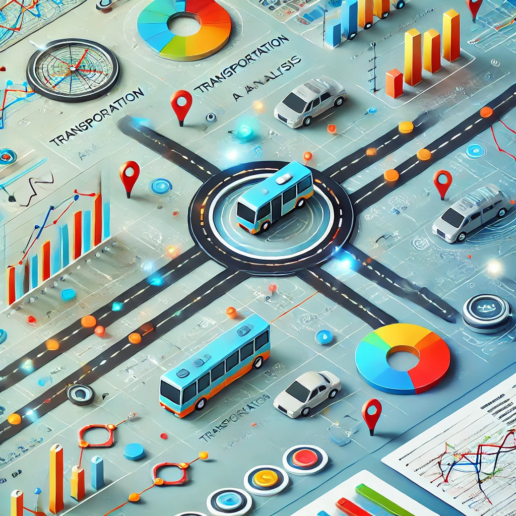
Transportation Data Visualization
How do we plan for more equitable and climate-friendly transportation?
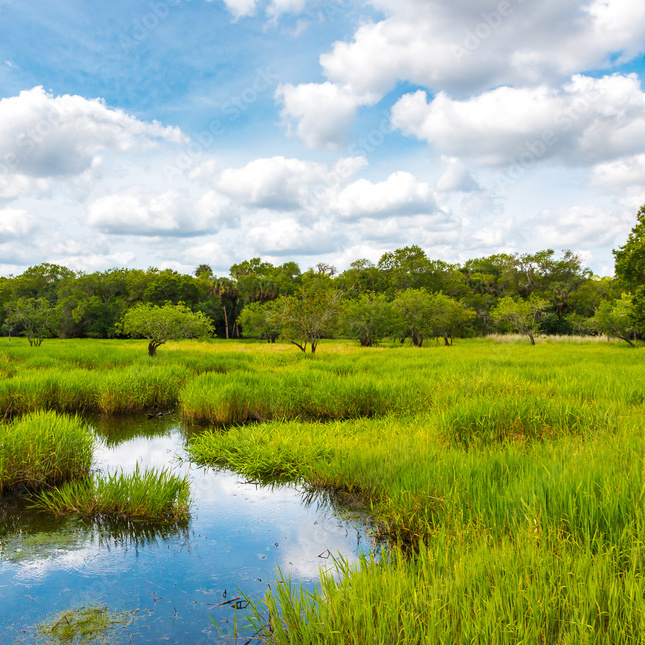
Environmental Quality Tracking
How do we track environmental quality using spatial analysis tools?
Data for Public Good
How do we create a just environment for local communities with data?
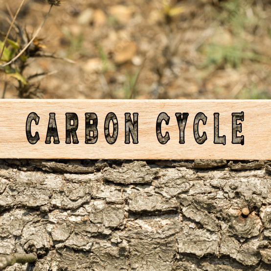
Carbon Cycle Research
How to understand carbon flows between the atmosphere and trees?
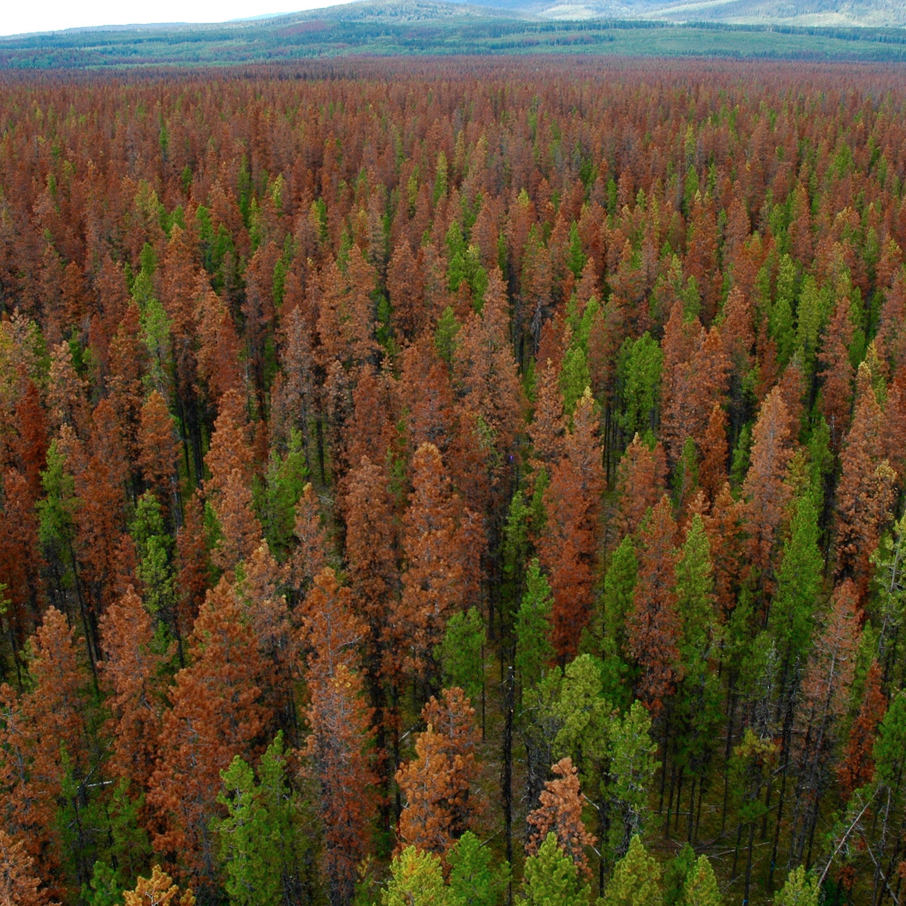
Climate Change Impacts
How have climate change and human activities affected forest ecosystems?
Ecological Investigation
How have the historical processes shaped the current patterns?
Experience
I have worked on environmental research and urban planning fields with experience as a leader and collaborator.
2023-2024
GIS Application Analyst
At Eugene Water and Electric Board, I gained experience with Spatial Database Engine, ArcGIS Server and Enterprise, while adapting to project management and optimization tools.
2020-2023
GIS and Data Analyst
I was working for Lane Council of Governments on transportation data visualization and modeling and various regional projects to support the local communities.
2015-2020
Geographer
I completed a doctoral dissertation exploring the cross-scale effects of climate change and forest governance on large-scale forest disturbance. I also worked as a spatial analyst on two urban environmental case studies with different groups of environmental and social scientists.
2013-2015
Erasmus Mundus Scholar
I was funded to take courses on forestry and natural resource management in three Mediterranean countries (Portugal, Spain and Italy). The courses covered GIS, remote sensing, modeling, forest management, governance and policy. I graduated with honors and earned a joint master's degree between the University of Lisbon and the University of Padua.
2011-2013
Project Manager
I worked full time on supply chain management with a focus on vendor development in the retail industry for 19 months, and then managed part-time projects on geostatistical research, teaching organic chemistry and consulting for studying abroad for 10 months.
2008-2011
Ecologist
I focused on phylogeography of the oriental oak in East Asia in a master's thesis while participating in multiple research projects on plant ecology. I completed courses on urban ecology, landscape architecture and planning and plant physiology. I taught and graded for a class on Ecotoxicology experiments.
Start from
college
graduation
About me
Dongmei Chen
I grew up in a small village in Southeast China, where I developed a strong interest in nature while working with my mother on the farm or in the forest. I pursued forestry as my major in college and became fascinated by remote sensing and GIS technologies and their potential for solving environmental problems. To further enhance my knowledge and research experience in environmental studies, I continued graduate education in landscape ecology in China and natural resource management in Europe.
As an Erasmus Mundus scholar, I had the opportunity to travel to different countries, learn about diverse cultures and landscapes, and adopt a more holistic and geographically-informed perspective. During my studies in geography, I honed my skills as a spatial analyst for my doctoral research. Working on my dissertation inspired me to pursue a career as an environmental data scientist, using GIS and data science techniques to bridge gaps between scientific research and policies.
After completing graduate school, I worked as a GIS and data analyst for a regional council of governments, focusing on urban planning and tranportation data analysis. In this role, I collaborated with a diverse group of professionals and stakeholders to tackle complex environmental challenges and develop innovative and sustainable solutions. Additionally, I briefly served as a GIS application analyst for a utility company. I am currently seeking new opportunities to contribute to local communities or organizations that advocate for sustainability and equity.
Transportation has significant impacts on the environment, including air pollution, greenhouse gas emissions, and habitat destruction. However, data visualization and modeling can help identify and evaluate potential solutions to these problems, such as promoting the use of public transportation, developing more efficient travel systems, encouraging greener transportation options, and improving urban planning to reduce the need for car travel. By leveraging data to inform decision-making, policymakers and individuals alike can take more effective action to mitigate the environmental impacts of transportation.
Motivated by a desire to create positive environmental changes, I was working on transportation data analysis for regional planners at the Central Lane Metropolitan Planning Organization (CLMPO). I maintained a data portal to monitor traffic counts, accidents, and ridership, evaluate commuting patterns, and visualize the socioeconomic status of the CLMPO region for transportation planning purposes. I had also worked on data preparation and model evaluation for three primary models utilized by CLMPO, including UrbanSim, a trip-based travel demand model, and the VisionEval Regional Strategic Planning Model. Additionally, as a cartographer, I had helped planners map out metropolitan transportation improvement and regional transportation planning projects, bike share and bike parking hubs, regional transit stops and routes, pedestrian paths and bike routes, and social equity in transportation. My experience of visualizing and modeling bike counts had inspired me to explore further the study of travel behaviors and urban planning.
Key words: Data Visualization, Modeling, Transportation, Regional Planning, Mapping, Data Quality Control
Environmental Quality Tracking
Environmental quality refers to the state of the natural environment and its ability to support life. It encompasses factors such as air and water quality, soil health, and biodiversity. Geographic Information System (GIS) tools are essential in tracking environmental quality as they allow for the collection, analysis, and visualization of geospatial data on various environmental parameters. This enables researchers and policymakers to identify environmental trends, track changes over time, and make informed decisions to mitigate environmental degradation and promote sustainability.
I had explored various applications of GIS for evaluating and supporting environmental quality. For instance, I was working on Wetland Determination in Oregon to identify conservation areas in planning. In this project, I developed an automated process to match taxlot and wetland determination areas using data wrangling and spatial overlay methods.
Additionally, I supported our regional partner, Eugene Water & Electric Board, in monitoring water quality in Mckenzie Watershed. This involves visualizing forest activities and reporting illegal camping within or near the watershed areas. To accomplish these tasks, I utilized cost-effective GIS automation solutions by employing a combination of various programming languages, streamlining daily or monthly reporting processes.
Prior to my current role, I examined the relationship between green infrastructure and water quality in New York City as a case study of socio-ecological systems, utilizing various spatial analysis and visualization methods.
Key words: wetland determination, water quality monitoring, GIS automation, programming, data quality control
Data for Public Good
Data for public good refers to the use of data to inform decisions and policies that elevate the welfare of society as a whole. Projects that leverage data for public good can have significant benefits for marginalized populations, as they help to identify disparities and inform targeted interventions to address them. By using data to inform policies and programs that promote equity, data for public good projects can help to reduce inequalities and improve the well-being of marginalized communities.
I had been involved in multiple projects that aim to promote public welfare. One of these projects involves reporting data on Crime Victim and Survivor Services in Lane County. Another project focuses on exploring the relationship between air pollutants and public health in the Oakridge and Westfir regions. Additionally, I analyzed survey data from the Homes for Good Waitlist Connect initiative.
Through my work on the Oakridge Air Quality program, I discovered a strong positive correlation between PM2.5 and the number of claims reported by the All Payer All Claims Reporting Program. This finding was instrumental in helping secure funding for air quality improvement programs in local communities that are more susceptible to the adverse effects of wildfires.
Similarly, in the Homes for Good project, I observed that the number of applicants and applications increases with the population size of individuals living in poverty, those with disabilities, and minorities. The survey data visualization component of this project had enabled the staff to evaluate program outcomes and identify potential gaps for future work towards their long-term goal of providing affordable housing for households facing financial constraints. These projects commonly require strict budget management and timeline.
Keywords: socail equity, marginalized groups, local community services, well-being, budget and time management
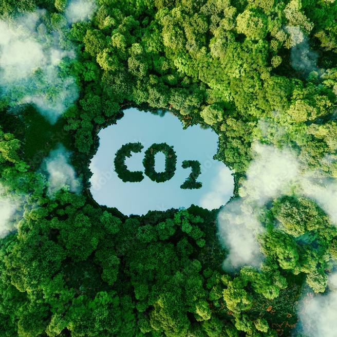
Carbon Cycle Research
The carbon cycle refers to the movement of carbon through different reservoirs, including the atmosphere, oceans, and living organisms. Trees play a critical role in the carbon cycle by absorbing carbon dioxide through photosynthesis and storing it in their biomass and in the soil. To further understand carbon flows between the atmosphere and trees, scientists use a variety of techniques, including remote sensing, field measurements, and modeling, to quantify carbon uptake and release by trees and to monitor changes in forest carbon stocks over time.
I had completed two research projects that involved examining carbon flows between the atmosphere and trees. These projects required me to collaborate with scientists across various ecological research fields.
The first project focused on global forest litterfall patterns over time and provided insights into the dynamics of carbon sinks in forest ecosystems, coupled with anthropogenic footprints. In this project, my primary role involved conducting a literature review and collecting data that contributed to the establishment of the first global litterfall database. The more recent project focused on black carbon deposition on canopies and soils and revealed edge effects of carbon sinking in urban systems. In polluted areas, carbon sources from transportation and built-up areas were retained more in trees.
Overall, these projects gave me a better understanding of carbon storage across scales, from global to city-level. They have also provided me with valuable experience and knowledge in the carbon cycle and its impact on ecosystems.
Climate change and human activities have had significant impacts on forest ecosystems, including changes in the distribution and composition of tree species, increased forest fires and insect outbreaks, and alterations in the timing and duration of biological processes such as flowering and leaf emergence. These impacts have consequences for the functioning of forest ecosystems, including their ability to provide important ecological services such as carbon storage, water regulation, and biodiversity conservation. Addressing the drivers of forest ecosystem change is crucial for mitigating the impacts of climate change and advocating sustainable forest management.
My dissertation project had a profound impact on my career choice in environmental science. I was fascinated by the theory of complexity and believed that it could guide me in tackling some of the most challenging environmental problems.
My research focused on mountain pine beetle outbreaks in western North American forests, which have been accelerated by climate change. Through my research, I found that continental-scale forest insect outbreaks were triggered globally by a warming climate and locally affected by long-term fire exclusion. This research highlighted the interconnectedness of human and natural systems, or socio-ecological systems, which are central to environmental research. Understanding these systems is critical in evaluating the human impacts on ecosystems and taking steps towards conservation.
My dissertation project taught me the significance of studying complex systems in environmental research. This knowledge has been invaluable in guiding my career in environmental science and will continue to shape my work in the future.
Keywords: climate change, complex adaptive systems, forest management, species distribution modeling, sustainability
Ecological Investigation
Historical events, including movements of continents, changes in climate, the evolution of species, and human activities, have gradually shaped the current distribution of flora and fauna across the planet. Particularly, human activities, such as land use changes, overhunting, and introduction of invasive species, have greatly altered ecosystems and their patterns. Understanding these historical processes is crucial to predicting how ecosystems may respond to future changes and developing effective strategies for conservation and management.
I completed two master's thesis projects that focused on researching ecological patterns at different spatial and temporal scales.
The more recent project involved mapping fire regimes in China over the past few decades. This study provided the first landscape-scale analysis of forest fire activity in the region and allowed for a better understanding of fire ecology and management practices. The use of satellite imagery was instrumental in capturing and analyzing these patterns.
In the other project, I studied the phylogeography of a plant species in East Asia. Specifically, I studied trees that had migrated across continents and evolved from various glacial refugia after experiencing millennia of climatic, terrestrial, and oceanic changes. This research was essential in understanding the impact of future environmental changes on these plant species.
These two master's thesis projects provided me with a deeper understanding of ecological patterns and their changes over time. The use of advanced technologies, such as satellite imagery, and interdisciplinary research methods allowed for more comprehensive and accurate analysis of these patterns.